LONG ISLAND, NY — Long Island is still considered to be a risky zone, since the remnants of Hurricane Florence heads towards the region.
The National Weather Service (NWS) reported that the hurricane has the capacity to produce 1 to 1.5 inches of rain across the region. The highest chance of rain will come during the afternoon hours Tuesday. Thunderstorms and gusty winds are also possible.
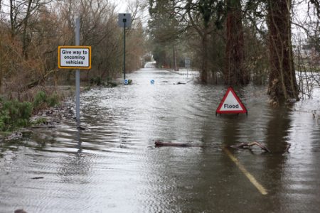
The main threat from the rainfall will be minor urban and poor drainage flooding and a low chance of localized flash flooding. These kinds of water buildups can be incredibly destructive. After all, water is much more dangerous than many people realize at first. Especially rushing water, which can come rushing in with far greater force than you might be aware of. Be careful out there, Long Island!
Hurricane Florence Wreaked Havoc Across the Whole Eastern Seaboard
As of 5.00 am, September 17, Florence has weakened. It is now a tropical depression with maximum winds of 30 mph. It was located about 145 miles west-northwest of Greensboro, North Carolina.
NWS forecast the hurricane remnants will also bring heavy rains, around up to 3 inches on the Boston area. Therefore, the effects of the hurricane extend all up and down the Atlantic coast.
As of today, the officials report seventeen deaths have been confirmed in North Carolina and six in South Carolina as a result of Florence. More than 740,000 people remain without power in North and South Carolina. The most affected counties are New Hanover, Carteret, Cumberland and Onslow.


